Chinese engineers make sci-fi drone mapping reality
Share - WeChat


A scene from the science fiction film Prometheus, where explorers deploy a mini-drone that laser-scans caves to generate 3D models instantly, has turned into reality, thanks to the efforts of Chinese engineers.
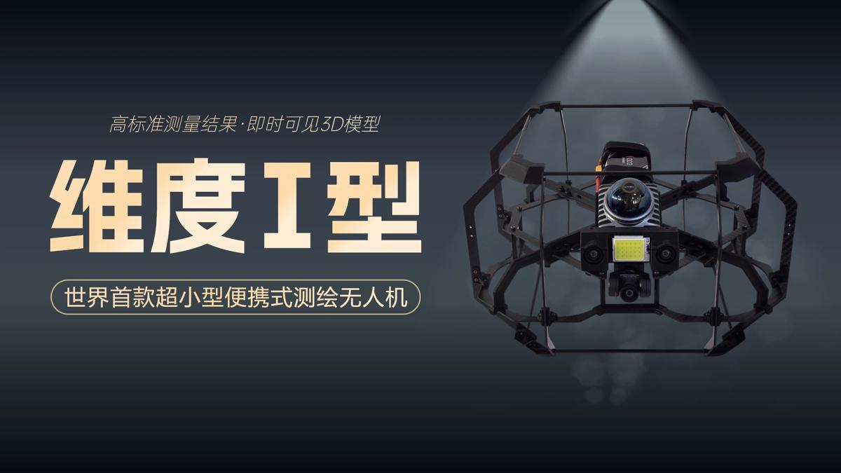
On Tuesday, the Spatiotemporal AI Perception Technology Innovation Center at the Tianfu Jiangxi Laboratory in Chengdu, Sichuan province, announced that it has launched Dimension 1, the world's first ultra-compact portable mapping drone. It is designed to perform asset digitization scanning tasks in indoor environments.
- Mainland scholar discloses fallacies in Lai's separatist narrative on 'unity'
- University's expulsion of female student ignites online debate
- 4,000 hiking enthusiasts hit rugged trails in Chongqing
- Creative fireworks show held in China's 'fireworks capital'
- Chinese scientists achieve net-negative greenhouse gas emissions via electrified catalysis
- At the gateway to China's resistance, memories of war echo 88 years on


